MacKerricher State Park is Fort Bragg’s park, deeply woven into the community’s story, past and present. Most people enter this gorgeous stretch of ocean, tidepools, forest, coastal prairie, and sand dunes three miles north of town, where the visitor center and campgrounds are.
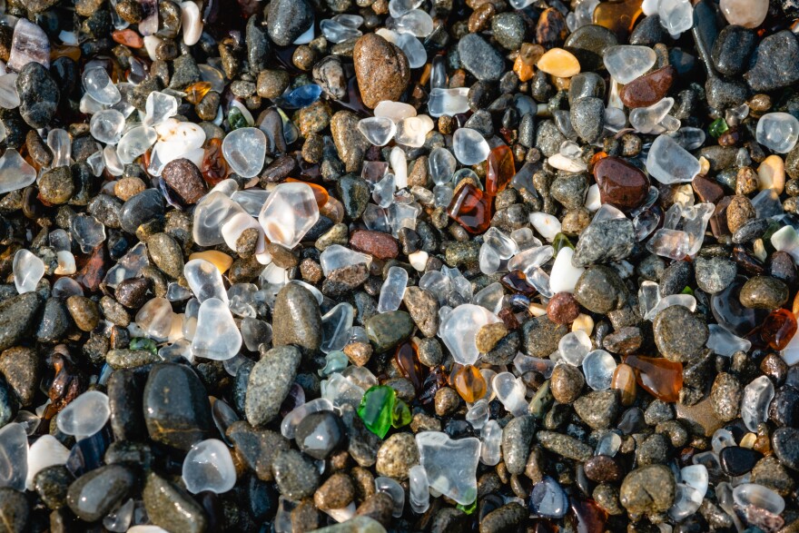
But you could start south of Pudding Creek at Glass Beach in Fort Bragg proper, a former dump site where polished pieces of old glass become dazzling finds, a beachcomber’s paradise renewed with every high tide. Or begin far to the north near the mouth of Ten Mile River, where the park’s Inglenook Fen-Ten Mile Dunes Natural Preserve begins.
Down on the beach at MacKerricher, stroll for hours past white-sand beaches, black-sand beaches, sheer cliffs and headlands, offshore islands, pounding surf, rocky outcroppings, abundant tidepools, with a view of remote dunes.

Or stay atop the low bluff parallel to the shore, taking in ocean views and, in spring, all those delicate, butterfly-speckled wildflowers—baby blue eyes, sea pinks, buttercups, and wild iris.
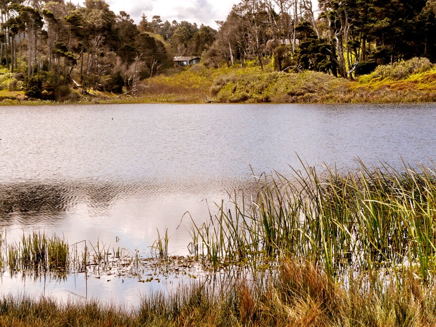
Park appreciation generally separates into the tourist area (crowded) and locals’ areas (almost desolate). Tourist usage centers around the park’s little Lake Cleone, a fishable freshwater lagoon with wheelchair-accessible boardwalk, near the campgrounds and picnic area.

Nearby are a picturesque crescent beach pounded by a thundering shore break, and the wheelchair-accessible Laguna Point, popular for watching whales offshore and harbor seals onshore.
Locals and savvy visitors find solitude to the south and north, historically connected to the lake and campground area by eight-mile-long Old Haul Road. This one-time logging road is now being removed within the preserve, along with invasive nonnative grasses, because both interfere with natural processes that maintain these almost pristine sand dunes.
The miraculous thing about unassuming Fort Bragg is exquisite yet equally unassuming Ten Mile Dunes, which extend south almost five miles, to Lake Cleone, from Ten Mile River, the northern boundary of MacKerricher.
Ten Mile Dunes feature unique wetlands, including Sandhill Lake and Inglenook Fen. Inglenook is California’s only known coastal fen, home to some rare and endangered plant species. An enduring mystery is why some plants found here otherwise occur only far to the north, from Oregon into British Columbia. Howell’s spineflower, a member of the buckwheat family that grows here, is found nowhere else on earth.
Not such a mystery is what you can observe here every day—how coastal sand dunes form, downwind of river mouths where rugged coastal extensions block the movements of wind and sand. Waves, ocean currents, and winds steadily move delta sediments deposited by streams and rivers onto land. Sand first accumulates around annual plants, rocks, and other small obstacles.

Over time winds move these “embryonic dunes” farther onshore, beyond the reach of waves and tides. Sand dunes keep migrating downwind until they get blocked by steep slopes or forests, and stabilized by vegetation and moisture, making them a shape-shifting but otherwise permanent presence.
Gain a deeper understanding of the land you stand upon, along the North Coast and elsewhere in California, by taking alongGeological Gems of California. This free digital guide was produced by California State Parks in conjunction with the California Geological Survey.
Up The Road Encourages Responsible, Safe Travel
Here are previous Up the Road episodes that explore why we should travel, how to do it responsibly, and how to travel responsibly now, in the shadow of COVID-19. Not everyone should be traveling now, of course. But everyone who does travel needs to do so responsibly, to prevent viral spread. Take a listen:
Up the Road: Why Travel?
Up the Road: Why Travel in Northern California
Up the Road: How to Travel
Up the Road: Why Local Travel Matters
Up the Road: Travel That’s Not About You
Up the Road: Heading Up the Road Again—Responsibly
Up the Road: 2020 Travel Strategy
Up the Road: More on Responsible Travel 2020


